By Marianne Haahr, Executive Director, Green Digital Finance Alliance & F4B Ambassador
New regulatory requirements, such as the EU’s Sustainable Finance Disclosure Regulation (SFDR), contain several demands on asset managers to access the asset geolocation of their investee companies. This includes the need to measure the percentage of investee companies that are operating close to, or in, biodiversity sensitive or protected areas, and report this data on the SFDR indicator. In addition, asset managers will also need to be able to respond to new deforestation due diligence regulatory requirements introduced in the EU and in the UK.

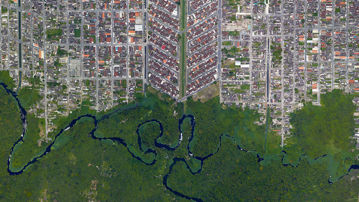
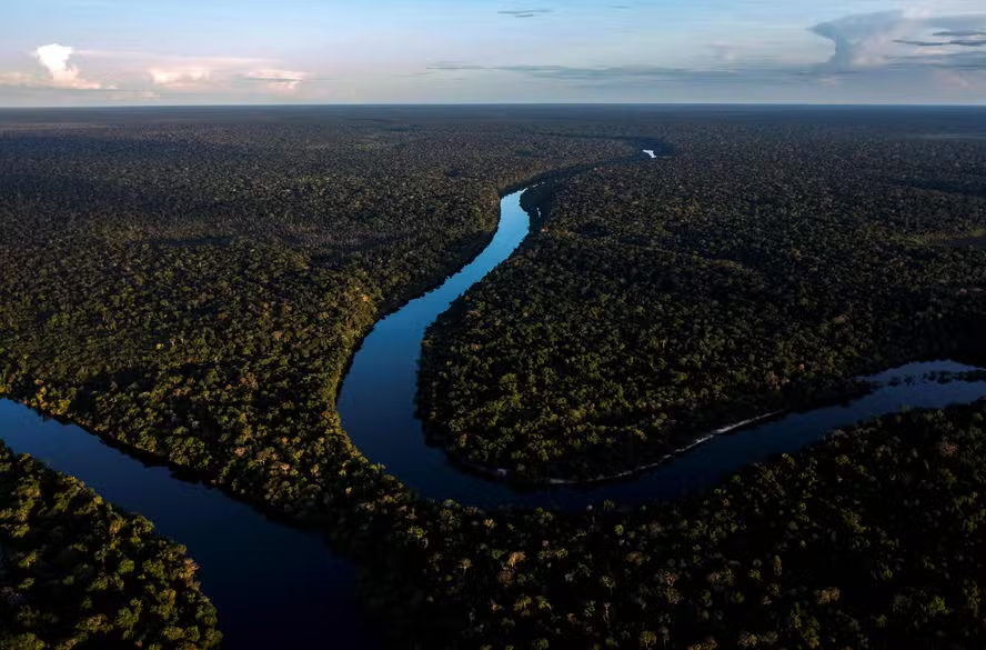
Asset geolocation of companies and their value chains will enable financial service institutions to assess biodiversity-related risks such as deforestation by overlaying geolocation with satellite photos and sensor data, and even linking it to financial transaction data. These measures are being implemented to reallocate capital away from destroying nature, and to adjust financial risk pricing accordingly. But it requires innovation in data models, as many corporates are not going to openly disclose this data, as it can damage competitiveness, but also due to some forms of data regulation.
Therefore in early 2021, NatureFinance (formerly known as Finance for Biodiversity (F4B)), in partnership with the Green Digital Finance Alliance (GDFA), initiated a sprint process to scope out the minimum features of a potential data platform solution, to accelerate the diffusion of biodiversity risk accounting across financial and capital markets.
The sprint process lasted for a period of three months, and engaged 44 institutions in bilateral interviews and/or in community-level discussions through three convenings. This started the platform’s community-building process, and tested whether the financial institutions (FIs) and Environmental, Social & Governance (ESG) analytics providers were interested in new ways to collaborate around asset geolocation data in biodiversity material sectors. The engagement also sought to ensure that any follow-on investments would be responding to market demand, to avoid designing a supply-driven data infrastructure.
The first output of the sprint process and various convenings is today’s Open-Source Biodiversity Data Platform Initiative Technical Scoping Paper. The document outlines the high-level platform architecture design of a new digital platform infrastructure, that would enable the financial and corporate communities to start to shape geolocation data sharing standards through new types of collaboration. The paper also reveals a number of key findings:
- The main data challenge is not so much a lack of biodiversity data, but rather that asset location and ownership data is not structured in ways that allow it to be a) combined with biodiversity data; and b) to enter the risk, valuation, disclosure and impact alignment models of financial service institutions without high transaction costs.
- Overlaying asset geolocation information with biodiversity data can reveal which assets underlying specific financing instruments are exposed to biodiversity material risks.
- It will allow biodiversity risks and impacts to be transmitted to capital markets and to be disclosed.
- The current gap in asset geolocation data for biodiversity material sectors is unlikely to be solved by current available data models.
- It was found that a requirement for asset geolocation data to be uploaded onto a fully open-source platform would discourage most corporates from participating as data providers.
- The process therefore identified and scoped a design based on a data market exchange, where FIs can call on corporate asset geolocation data to be shared using privacy enhancing technology, so that it is only available to the FI.
- A new type of data infrastructure could enable this to develop alongside regulatory dialogue, to ensure that emerging biodiversity disclosure regulation explicitly calls for geolocation-specific information.
F4B and GDFA are making the asset geolocation data platform design available via Open Source in the hope that members of the data, biodiversity, financial and corporate communities will take the next step in maturing the design and building a prototype to test.